This is the first in a series of posts about Tuxedo, New York, emerging as a “trail town” and gateway to the Hudson Valley.
The Kiosk: Where Adventure Begins
Like other hikers, I’m drawn to trailhead kiosks. They’re little beacons that stand at the entrance to adventure. You can see them from the road as you drive by, and like other hikers, I make mental notes of kiosks as I pass them, vowing to return. To me, nothing is more enticing than a man-made trailhead kiosk with a trail that disappears into the woods, into darkness and leaf and who-knows-what.
Kiosks say, “This is where the adventure begins”.
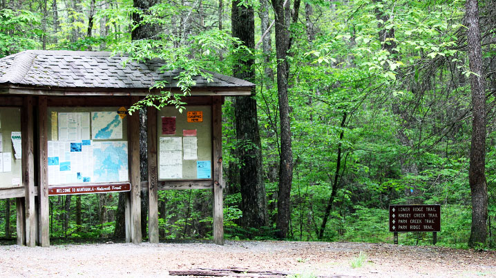
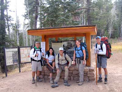
The best kiosks make you want to go hiking when you started your day with no intention of hiking. This one’s in the Standing Indian Basin of the Nantahala Mountain Range, North Carolina.
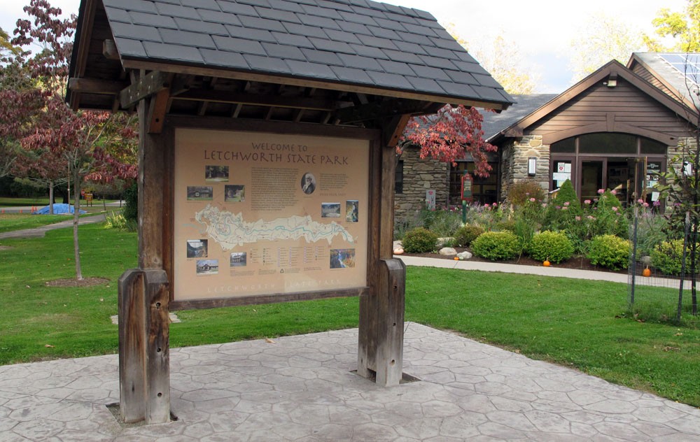
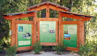
Your basic trailhead kiosk. This one, at Letchworth State Park in central New York State, shows trails, amenities, and pictures of viewpoints. A roof keeps you dry in the rain and a stamped concrete floor keeps your boots from getting muddy. On the opposite side is a description of park wildlife.
One of the best adventures I know begins at the start of the Ramapo-Dunderberg Trail in the Tuxedo Train Station. The trouble is, there are no trailhead kiosks there. And that’s where many (if not most) of the visitors to western side of Harriman State Park are looking for information.
There is a huge gap in what should be a seamless route from the city to the park via train, and it happens exactly at the Tuxedo platform.
Here, a hiker should be able to hop off the train and immediately see a trailhead kiosk, because a kiosk is what hikers are conditioned to expect. We look for them, and if we don’t find them, we keep looking until we do, because who has an awesome trailhead without a kiosk?
The kiosk we know and love has trail information, warnings, conditions, and often — especially if the trail is located in a town — information about local amenities, such as restaurants, shops and transportation.
It’s not an eyesore; it’s a beautification of and complement to its natural surroundings.
More than this, a kiosk says to passers-by, Here is a trail. You’ll want to hike here some day. You, and your dog-walking friends. You and your little kids (best friends, date, partner). You, who may be on the fence about moving to this sleepy town: let me convince you that there is a whole world of health and adventure beyond this wooden pavilion. Post a note on me; I’ll make sure your hiking club gets it and knows you’ll be waiting for them at the bakery down the street.
But, here is the experience of the visitor to Tuxedo on any day except for Saturday and Sunday morning (when we’re running the shuttle and the Farmers Market is open): You pull into the station after an hour’s ride on the train. You get off the platform, use the bathroom, and look around.
You won’t find a kiosk, and you’re lucky if your eye catches those three little symbols, nailed to a utility pole in the parking lot, because, yes, this is the start of a century-old, 23-mile trail that traverses the park, from Tuxedo to Bear Mountain, joining classic, one-of-a-kind stone shelters and vistas forever.
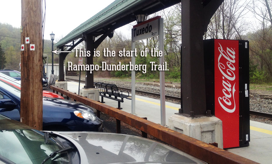
I have a love-hate relationship with these little dots and this pole. Love, because I love when hikers and backpackers get off the train and ask how to get to the Ramapo-Dunderberg Trail because they’re really excited about the weekend ahead. Hate, because, plastic dots on a pole. Three, four, five times on a Saturday and Sunday we’re walking hikers to the pole and telling them that this is where it all starts. These plastic dots aren’t even positioned in such a way that we can stand in front of the train station or on the platform, and point to them. We are literally walking them over to the pole.
Our “Living Kiosk” Is Just a Band-Aid Solution
This summer, a group of us have spend nearly every weekend morning and early afternoon in Tuxedo, running the Tuxedo-Harriman shuttle. It’s a big school bus that meets the weekend, morning train at the Tuxedo Station.
Our ticket table, along with the Hikers’ Information booth in the Saturday Farmers Market, is a living kiosk on the weekends. We answer questions, sell maps, make hiking suggestions and offer advice for backpackers. We literally walk with hikers out to the parking area so we can point out the start of the 23-mile Ramapo-Dunderberg Trail, the most popular route for train riders, by far. We direct hikers and backpackers into the Farmers Market, across the street for coffee, down the road to Dottie Audrey’s, and into the sushi restaurant, the Orange Top, and the Tuxedo Junction for post-hike refreshment.
When the shuttle isn’t running, we take down our signs, our banners, and our table, and we go home. And while many hikers who come to Harriman State Park via the Tuxedo Train Station have a level of self-sufficiency that gets them to the trailhead in East Village, many don’t, and I don’t know what they do during the week when there is simply no information or kiosk at the train station.
Here’s what we hear from Saturday and Sunday morning hikers, time and again:
- How do we get to the trails from the train station (not using the shuttle)?
- What’s a good day hike to do (either using the shuttle, or not)?
- Where can we get coffee (sandwiches/cold drinks/maps)?
- Why don’t you have a kiosk? (okay, I put that one in there. But I bet they’re thinking it).
These are questions that can easily be answered by a permanent kiosk.
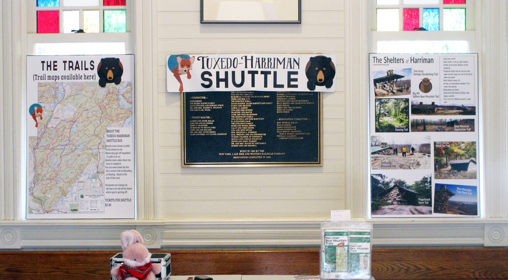
Some of our information signs in the Tuxedo Train Station. We have them there on Saturday and Sunday morning when we run the shuttle, but it all has to come down when we leave. A permanent kiosk could have this information year-round.
The Ramapo-Dunderberg Trail is a gem and a treasure and an economic asset to the Town of Tuxedo; a trail of this stature deserves a permanent trailhead kiosk.
Ridership on the weekend train into Tuxedo is way up as more and more hikers discover the park. Trail use is up and for two weekends in a row we’ve had nearly full ridership on our shuttle through the park.
Adding a kiosk at the trailhead would be a visible sign of the stiff trails that call to hikers, of the fact that Tuxedo doesn’t just sit at the edge of a park. The park is in Tuxedo, and the train runs right through it, connecting this little community and its great big park to the whole of New York City. That’s something that should be the envy of every would-be trail town in the country.
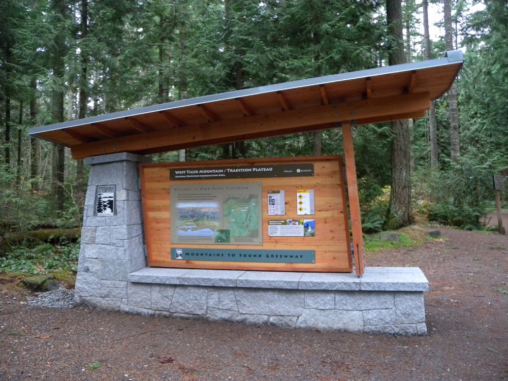
Kiosk for West Tiger Mountain, outside Seattle, with roof for shelter, and stone seating at the base.
Here are Some of My Favorite Kiosks
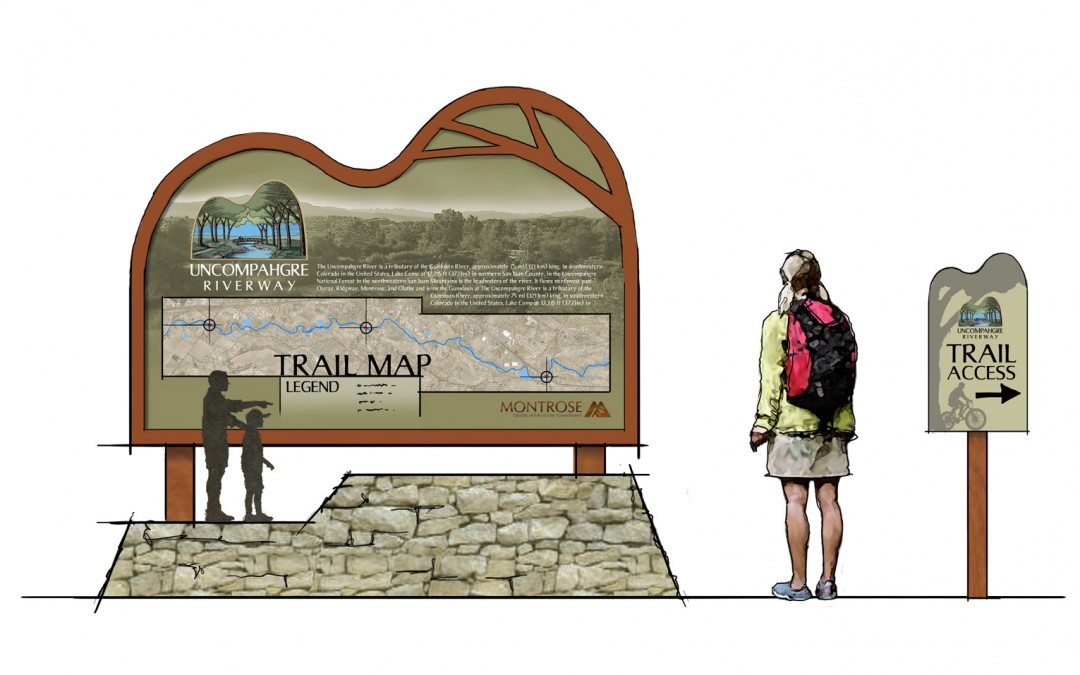
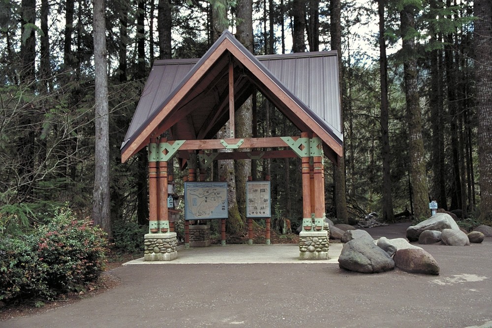
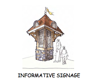
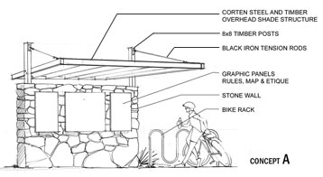
Some of the kiosks I’ve posted here are very beautiful, and reference the park, the local architecture, a history of train travel, or a combination. Some are design originals. Some look like they’d be expensive to build, some not so much. Not one looks out of reach of a crowd-resourced fundraiser, and I’d like to try to get permission from the Town of Tuxedo to consider setting aside a little room for a kiosk, and we’ll get the money. I know we can do it together.
And any of them would put a stamp on Tuxedo that would tell the motorist, the cyclist, the train-traveller, the visitor: this is a Trail Town. We’re young and old and everyone in between. We love the fresh air, the open space, the adventure. We love warm food and good beer and coffee after an adventure, and we have the shops to prove it. We’re the place you want to stop after the trail, because we guarantee you’ll be able to meet someone who’s just had the same adventure as you.
So easy. Behold, the kiosk.
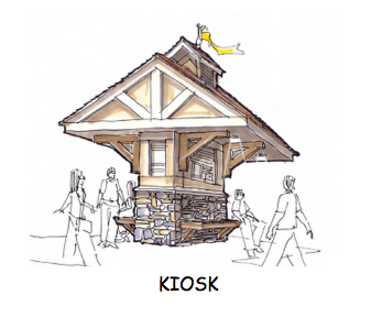
This kiosk references the “Golden Age” of train travel in America. It’s located at the head of the Barnegat Branch Trail in New Jersey.
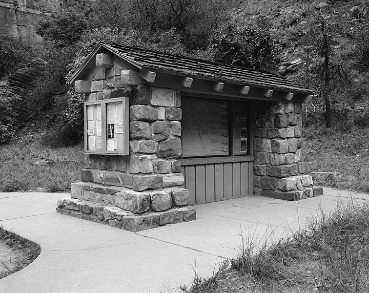
Bulky kiosk near The Narrows. Permanent trail map and information inside; a bulletin board (with key) on the outside.
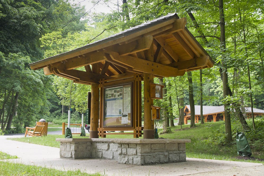
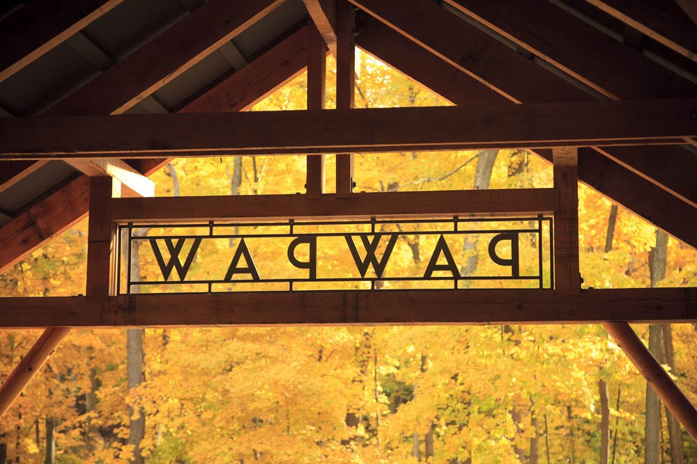
A lot of woody goodness went into this kiosk design by Chambers Architecture, for Metroparks in Dayton, Ohio. This one’s at the start of the Paw Paw Trail.



Thanks, Suzy! Just in time for our meeting tomorrow night.
Thanks, Caroline!
Most kiosks I have encountered are not well maintained. The maps that might be there are usually faded and unreadable at best. I don’t even know if your site is still active but I’m putting this here anyway. I have come to some that are so bad that there is only an empty board or the rain got into it.
To continue, if you don’t come with the knowledge and planning you are soon in trouble. My first time on this trail I had some snow in early April but I found the trail with no trouble. It went over the bridge to the park. Many new hikers need to plan or they are soon in trouble. (I’m the one that was on the shuttle that told somone about the Suffern trick for the train).
You are right on target. How about it NYNJTC?
Hi Kenneth: Actually Sona Mason from the Trail Conference has been a driving force and all-around big time supporter for many of the projects happening in the “corridor towns”. Buying her a beer at the end of all this, should the signs go up! The Trail Conference has these great panels — modular metal signage that goes directly into kiosk installations, and you can sort of pick and choose what information goes there, whether it’s maps, warnings, bear info, etc. As far as paying for this, it might be fun to try to raise the money from private individuals, local businesses and groups.
The Town of Tuxedo has its own fiscal woes, so I started working with IOBY.org to launch a crowd-resourced drive to fund this, should the Town be interested in getting a kiosk up.
Hi Suzy.
THANKS for all of your amazing work on behalf of “our” Harriman! Your website is fantastic and the kiosk ideas, photos, and explanation of what the kiosk is useful for provides a solid foundation for local residents, NY/NJ Trail Conference members, and Tuxedo’s local Chamber of Commerce to discuss and hopefully develop this idea.
I look forward to seeing you in the park and at meetings and events that foster park utilization and preservation.
All the best!
Ken English
Thanks, Ken. I’m really looking forward to seeing the final product! See you out there.
Any Scout troops in the area? Building a kiosk like this could be a good Eagle Scout project, should there be a Scout interested (particularly if there is a Troop that likes hiking).
Most kiosks I have encountered are not well maintained. The maps that might be there are usually faded and unreadable at best. I don’t even know if your site is still active but I’m putting this here anyway. I have come to some that are so bad that there is only an empty board or the rain got into it.
To continue, if you don’t come with the knowledge and planning you are soon in trouble. My first time on this trail I had some snow in early April but I found the trail with no trouble. It went over the bridge to the park. Many new hikers need to plan or they are soon in trouble. (I’m the one that was on the shuttle that told somone about the Suffern trick for the train).
PLEASE get this done! Harriman is such a big and at times confusing park for even experienced hikers. I helped rescue people out of the park yesterday that was lost, with the sun setting. The lack of information is astounding. A lot of “average” hikers will just start off on a walk, because they made it this far, and don’t want to turn around, meanwhile, ill equipped, especially without information and maps. The people I helped, had a “one loop” map on a dying cellphone. They had no concept of the size of the park. Very scary. Harriman is beautiful. A kiosk would mean the world. Just a picture of the real trail map should give the more unexperienced hikers a visual warning that maybe thinking a picture of a loop on the phone is not sufficient.