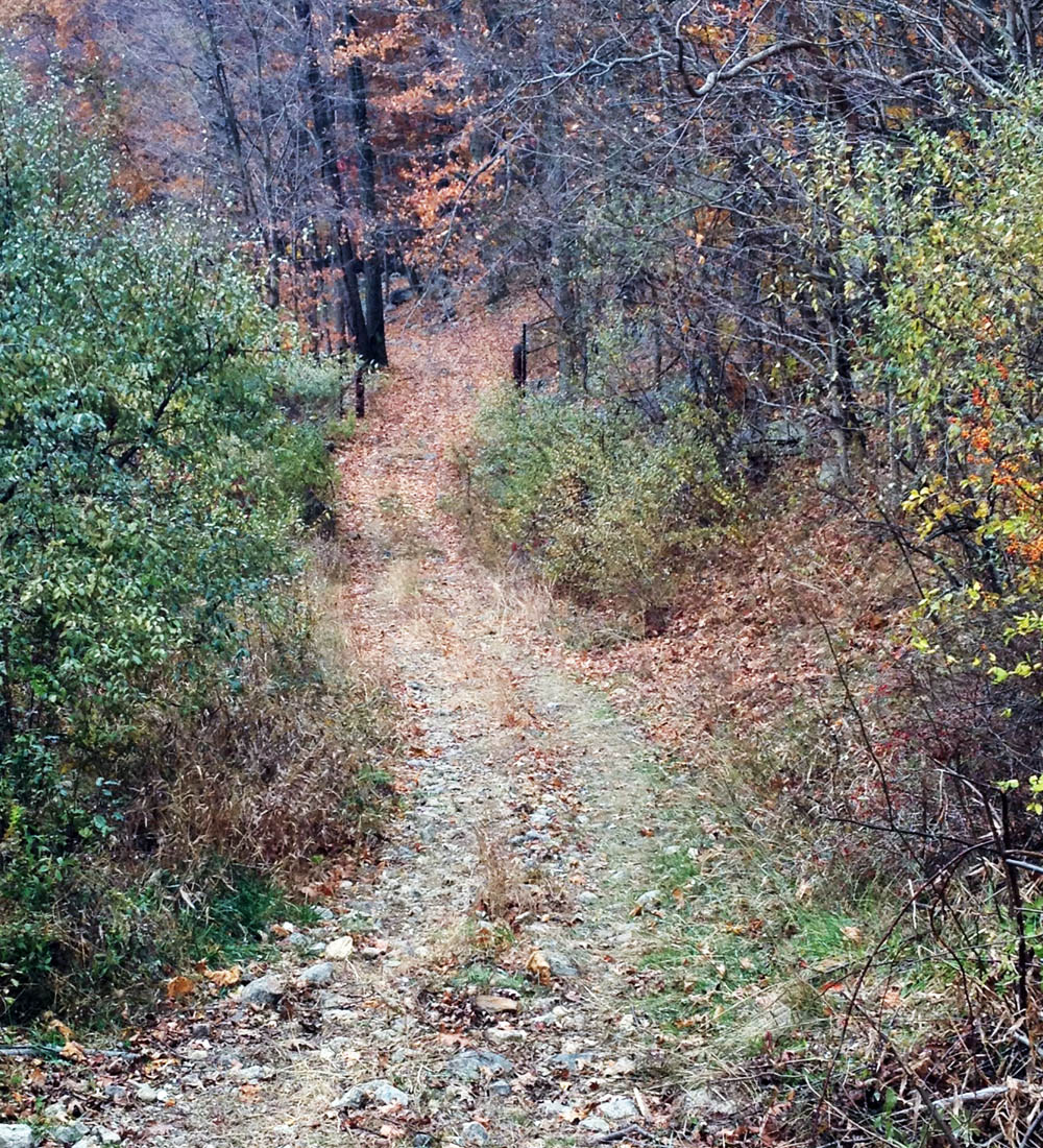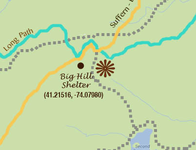
An unmarked trail — an old woods road — cuts through Harriman State Park near the start of the Many Swamps trail. Harriman is criss-crossed with multiple historic trails and old woods roads, and the best way to navigate them is with the trail maps app on your smart phone (and the official guide by William J. Myles).
There’s a reason the “historic” trails of Harriman State Park — shady remnants of trails that once were — have fallen fallow over the years, and now I know it: they’re tough.
This summer I’ve hiked a great many of the once-travelled, now deserted and sometimes overgrown trails (many of these are marked on our free downloadable PDF trail map — they’re marked with a broken grey line).
They’re ankle-breakers, sometimes following mine roads or stream beds uphill for great distances. Sometimes they’re a little dull, winding through unbroken stretches of monotonous oak-and-blueberry forest.
But I’ve come to believe that the trails that people once traveled and named and then left undisturbed have been abandoned because they weren’t particularly interesting or hiker-friendly. I can’t imagine, say, the Ramapo-Dunderberg or Dunning Trails being so abandoned.
And you need to be especially careful on these trails. While the chances of your rolling an ankle are probably greater than on the maintained trails, the chances of you encountering another helpful human being on these trails are next to nil. You’re alone, so take precautions. It’s probably best to not hike alone.
But I’m still up for a little exploration, and if you’ve done the miles-and-miles of marked trails in Harriman, have a GPS, a spare battery or two, and a map of the unmarked trails, you can see what’s out there for yourself.

Black bear droppings (eeew!) on the Many Swamp Trail in Harriman State Park, New York. Some of the unmarked and unmaintained trails in the park lead through some far-out backcountry. Some are difficult to walk, and some are just dull.
(Beware of the bears, though. This week, the Many Swamp Trail was littered with bear droppings!)
Harriman State Park Trails, Shelters and Parking Areas: A Free PDF Map to Download


Hi Suzy
It is what I do for the most part. I agree best to do them with a friend just in case. And I might add if you do go on unmarked trails try to find out what they were all about years ago first. This way you can look out for certain potential landmarks.
Keep up the good work Susy!
Ted
That’s good advice. That’s where the Harriman guide book is such a good friend. I’ve also found a good resource in the New York Times website (if you have a digital subscription). From there you can download PDFs of all the old articles, as the park was developed and the trail system built. Most are written by Raymond Torrey. Thank you so much, Ted.
I was just put for a hike today on what is marked a ski trail accessed from the sebago boat launch parking area. I was quite surprised when I was told by a park ranger I was on this road trail “illegally”. I was further informed no one can hike anywhere but marked trails. What is going on?
You got unlucky in the wrong place at the wrong time. But we hike on unmarked trails all the time. You were close to Fourth of July weekend on a trail that goes near a lake and theyre especially alert around summertime near lakes